What history is in your 5km?
For many of us, the restrictions during the past two years have meant that we had a newfound appreciation for what's in our 5km. Some of us came across places in our localities that we never knew existed. What I hope to do with this blog is to give you the resources to find out what history lurks beneath your feet on your 5km walks.
My first port of call for any local history project are maps. I'm a visual learner and I like to see the area I'm working with. The Geo Hive Map Viewer is a fantastic tool that allows you to toggle between modern OS maps and the firs OS maps drawn up for the country ( see my blog on the Sheela-na-Gigs to find out why these maps were drawn up).
The Geo Hive map viewer is also a great resource for school projects- it allows you to toggle data on historic marshes to modern day wind farms, and there's hours of learning there in one application. To view the maps click HERE
 Helen Roe's Map of Laois as part of the Helen Roe Collection, Laois Local Studies Library
My 2nd site to visit is the Census Records. Who lived where, when, and who else lived in the house. What type of building did they live in? How old were they? What jobs did they have? What languages did they speak? Where were they born? The census records are a mine of information and a great learning tool for both school children, and family history researchers alike. They do need to be taken with a pinch of caution however:
- The number on the record is not necessarily the house number. It's the next house the enumerator visited.
- We can't 100% verify the facts that were given, my granny would never have given her exact age to a stranger - would yours?!
- Some of the members of the Women's Suffragette movement refused to fill out the census in protest. that doesn't mean they weren't in the country at the time - watch out for missing information.
- There was no census taken in Ireland until 1926, so our last available census is 1911.
- Watch out for spelling errors- the computer record was transcribed by a human - we make spelling mistakes so if you can't find your great grandparents, look for other spellings
- Laois was known as Queen's County, Portlaoise was Maryborough and Offaly was King's County.
To view the census records click HERE
 111656 inhabitants in Queen's County in 1911
Another favourite resource of mine for local history is the National Monuments Service Historic Environment Viewer. This map allows you to view a range of archaeological sites, with information on the finds made at the site as well as the history of some of the more modern historical buildings in your area. Always wanted to know how old the buildings on your main street are - Click HERE
Another site to visit to view Historic Buildings within your 5km is the National Inventory of Architectural Heritage which can be visited HERE
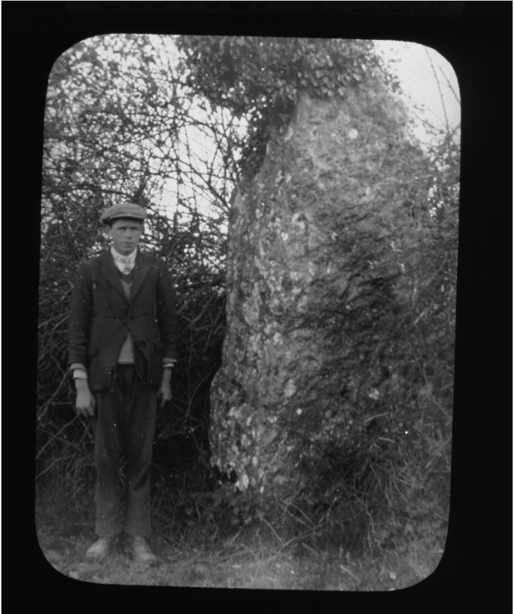
 Timahoe Face - Image from the Helen Roe Collection, Laois Local Studies Library
What if you want to go further back and see who owned the land before all these houses were built? Let's look at the Down's Survey HERE
What was the Down's Survey? 'The primary purpose of these maps was to record the boundaries of each townland and to calculate their areas with great precision. The maps are also rich in other detail showing churches, roads, rivers, castles, houses, and fortifications. Most towns are represented pictorially and the cartouches, the decorative titles, of each map in many cases, reflect a specific characteristic of each barony.'
The Down's Survey was completed as a result of the Cromwellian invasion, the prior Civil War, and 1641 Rebellion. There were a number of sites in Laois that witnessed the slaughter of the vicious rebellion and the depositions given by those witnesses can be found HERE and the map of the atrocities and where they happened can be found HERE
What if you want to find out some modern history like the Irish War of Independence?
Let's have a look at the Irish Military Archive records HERE. The team of staff working on the records for this period has completed trojan work over the past few years, and releases documents on a phased basis as they are scanned and digitised for us all to use - Free of charge. It's a fantastic resource, and if you have a child or family member who is really interested in military history, I cannot recommend this site enough. They also have a section for schools to use and are ideal for a home school project on this period of Irish history.
Irish Military History Archive Lesson Plans
One of my personal favourites is the lesson plan for the 'Women of Easter Week'.
Each lesson plan gives you the resources, the questions to ask, and the information on how to assess the questions. For a bit of fun, it's a great way of creating a history project together with your children.
For more historical maps on Laois or pictorial history, check out the newly launched Laois Local Studies Archive HERE. Superbly digitised and a great insight into local Laois history. Can you spot anyone you know in the Photographic Collections? Let us know in the comments below.
This is not an extensive collection of available records to explore your local history. There are many many sites out there. Some are really easy to navigate, and some are a little bit more difficult to get around and find information on.
I hope to add to this blog every week, so if you don't see a site you're familiar with, don't worry it will be added soon. It's aimed at beginners who want to start learning about their local history and we'll build it up from there.